 |
| Dungeness Spit map at trailhead, Sequim, WA. |
Fortunately it is less than five miles from my home and is a grand spot for walks; long ones or short ones. Even on drizzly days, it is a delightful escape from the moderate traffic of the area.
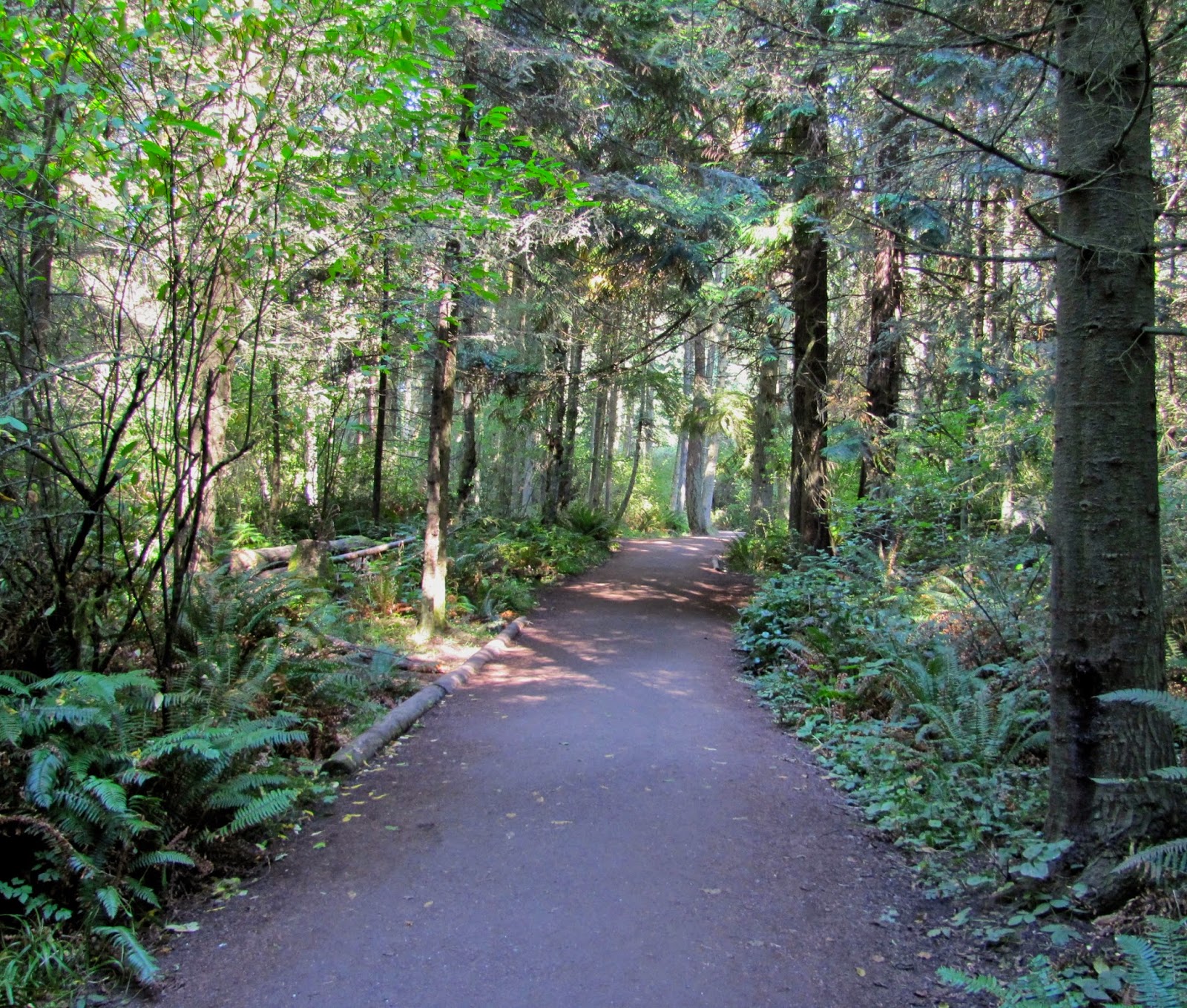 |
| Upland forest trail heading toward "the Spit." |
Today the weather was perfect for a rather long trek, but I didn't tromp all the way out to the lighthouse. That is a 10-mile round trip and I don't think I've trained enough yet.
 The walk starts in the forest, and pleasantly meanders gradually downhill until that last 1/8th mile when it is somewhat steep, but on a wide, smooth trail.
Then the trail opens up and suddenly you can see the upper end of Puget Sound, the Strait of Juan de Fuca and across to the island of Vancouver, B.C.
 |
| The waves from the Strait of Juan de Fuca create the Spit, and the bluffs nearby are gradually eroded. |
 |
| People do a lot of rearranging of the stones on the beach. |
Judging from the number of stones in varying stages of being grinded away by the salt water action, I cannot think that there is a great risk of them disappearing because folks are collecting them.
Do you suppose there is someone who has catalogued them and is keeping track of where they all are? A fine government job!
 |
| Well, it looked like a heart for a bit... it's the white one. |
When I visited the Pacific coast, up at Rialto Beach, I noticed the stones there are being shaped much rounder. Here they are being washed flatter. Even so, I found myself walking and looking down and here is what I found:
 |
| A ship loaded with freight heads out to the Pacific Ocean. |
All kinds of creatures, feathered, finny and furry, take advantage of this refuge.
During the spring the seals use the protected harbor beach at the end of the Spit for their pups. In the fall and the spring, the migrating birds take a break from their journey and other native birds are here all year.
 |
| This is the sea grass that is essential for nesting birds. |
 |
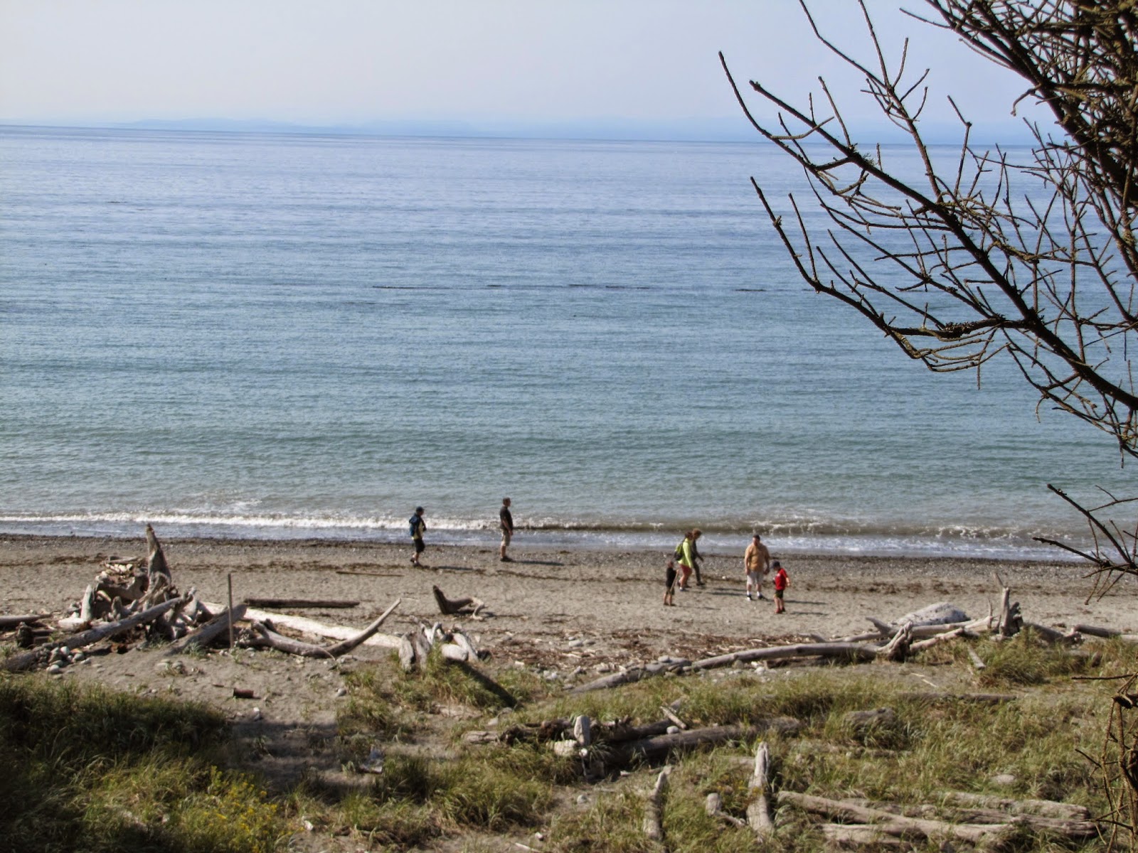
| The hotter-than-average summer has made the waters in the Strait less than frigid. |
 |
| The Olympic range is off in the distance. The eroding bluff is to the left in the photo. |
When my son was out visiting we walked along the bluffs. There has been so much erosion, portions of the path I walked a year ago have disappeared and the Rangers have re-routed it.
I have no idea at what speed it will progress, or what will happen to the park itself if the bluffs simply disappear. At least the scientists can't blame the erosion on global warming. Or can they?
 |
| Waves on the shore; small now, but come back when the fall winds whip them up and see them then. |
I'd love to visit there, it looks so beautiful.
ReplyDeleteThere are lots of things to do and see any time of year... go to City of Sequim or Olympic Peninsula tourism for a schedule of events...
DeleteSandy, I enjoy reading your blogs about Sequim and the peninsula. I grew up in the Sequim area, but left after graduating from high school and went into the Air Force. I've been on the spit many times, but have never made it out to the lighthouse. I too have multiple myeloma and was diagnosed last year at age 54.
ReplyDelete